

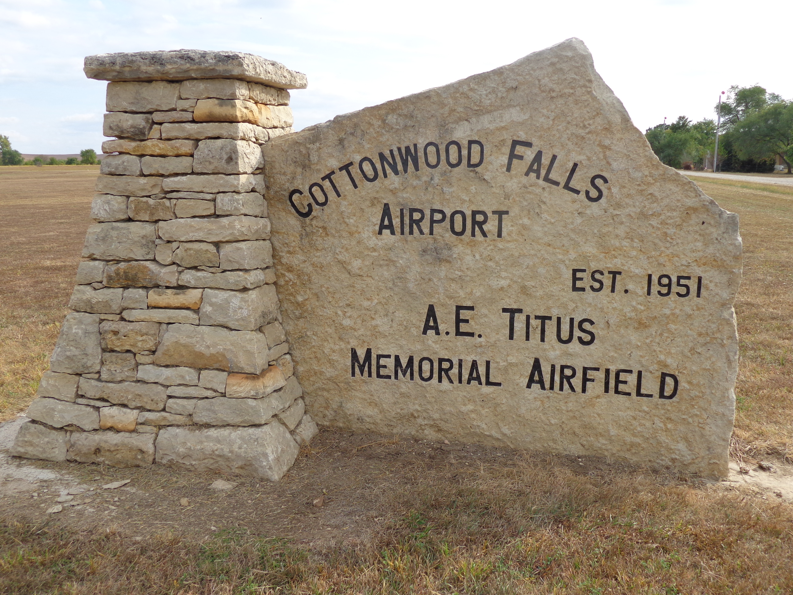
Location
FAA Identifier: 9K0
Lat/Long: 38-21-31.0520N / 096-33-16.0260W
38-21.517533N / 096-33.267100W
38.3586256 / -96.5544517
(estimated)
Elevation: 1273 ft. / 388.0 m (surveyed)
Variation: 06E (1985)
From city: 1 mile S of COTTONWOOD FALLS, KS
Time zone: UTC -6 (UTC -5 during Daylight Saving Time)
Zip code: 66845
Airport Operations
Airport use: Open to the public
Activation date: 11/1999
Sectional chart: KANSAS CITY
Control tower: no
ARTCC: KANSAS CITY CENTER
FSS: WICHITA FLIGHT SERVICE STATION
NOTAMs facility: ICT (NOTAM-D service available)
Attendance: UNATNDD
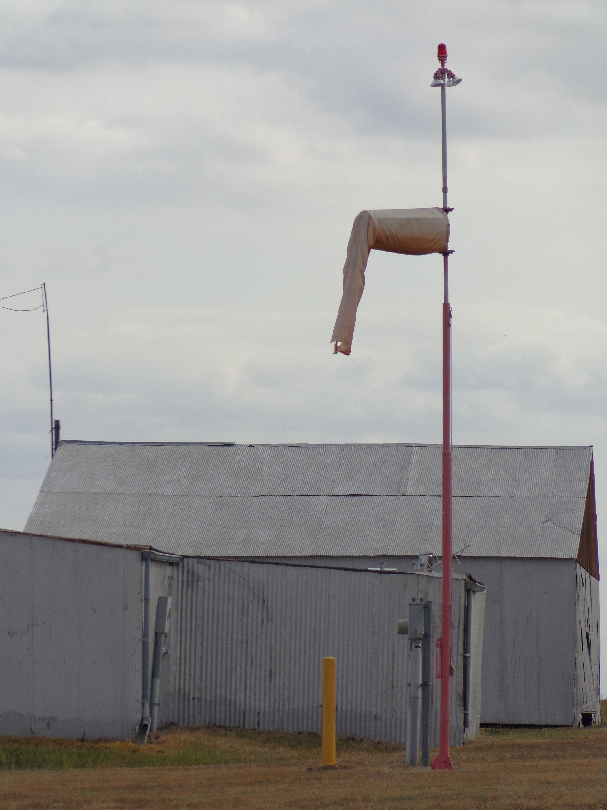
Wind indicator: lighted
Segmented circle: no
Lights: SS-SR
Airport Communications
CTAF: 122.9
WX ASOS at EMP (17 nm E): 126.125 (620-343-3733)
Nearby radio navigation aids
VOR radial/distance VOR name Freq Var
EMPr274/20.0 EMPORIA VORTAC 112.80 08E
FRIr153/(39.4) FORT RILEY VOR 109.40 06E
NDB name Hdg/Dist Freq Var ID
HERINGTON 143/23.4 407 06E HRU …. .-. ..-
NEWTON 056/38.2 281 06E EWK . .– -.-
BOYD 270/39.4 245 05E UKL ..- -.- .-..
Airport Services
Parking: tiedowns
Airframe service: NONE
Powerplant service: NONE
Bottled oxygen: NONE
Bulk oxygen: NONE
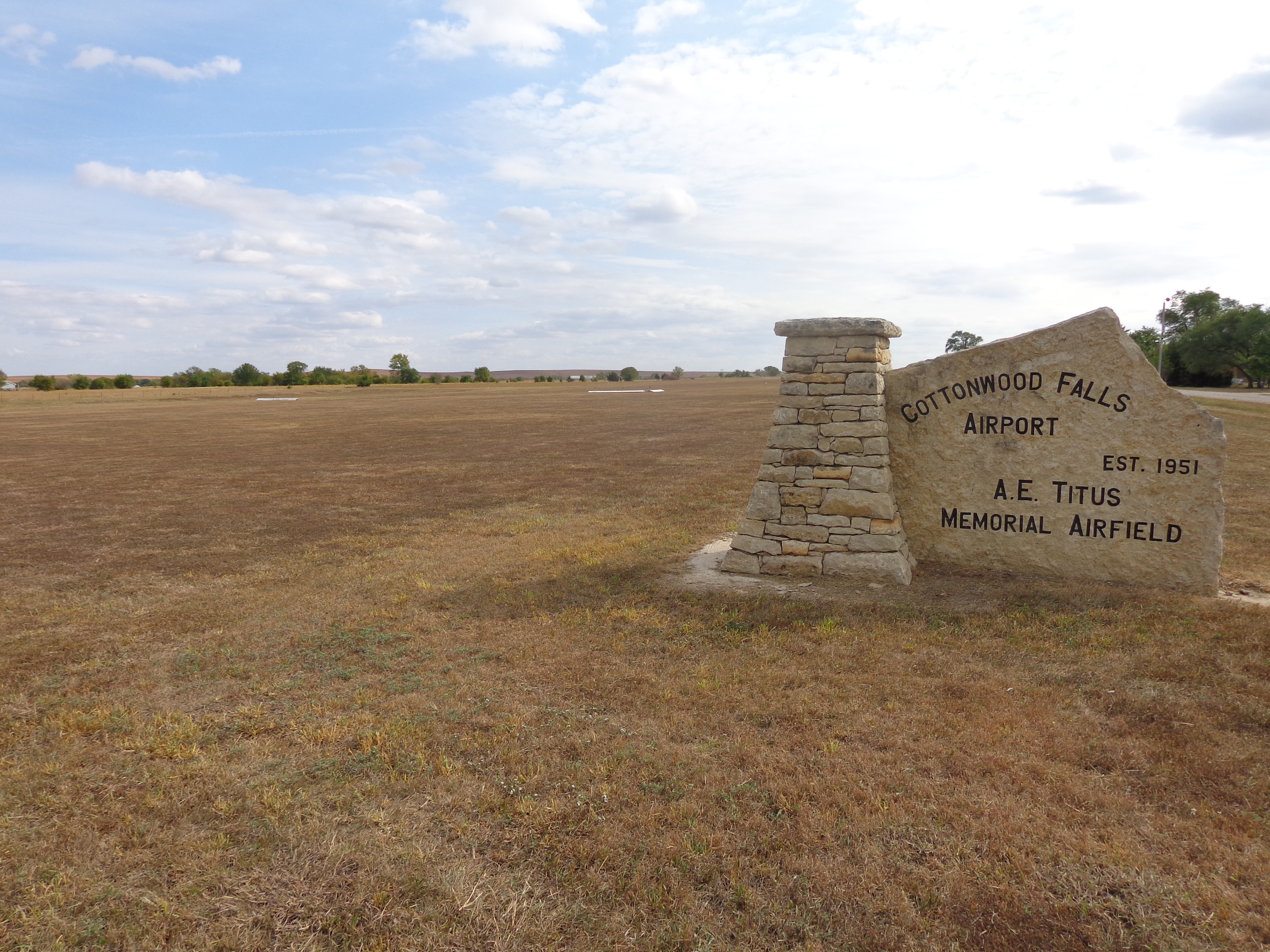
Runway Information
Runway 17/35
Dimensions: 2300 x 155 ft. / 701 x 47 m
Surface: turf, in good condition
SOFT & SLICK IN SPOTS WHEN WET.
Runway edge lights: low intensity
Runway edge markings: RY 17/35 THLD MARKINGS PAINTED WHITE WITH THLD LGTS.
RUNWAY 17 RUNWAY 35
Traffic pattern: left left
Obstructions: 86 ft. tower, lighted, 1375 ft. from runway, 54 ft. left of centerline, 15:1 slope to clear 3 ft. fence, marked, 25 ft. from runway, 8:1 slope to clear
Airport Ownership and Management from official FAA records
Ownership: Publicly-owned
Owner: CITY OF COTTONWOOD FALLS
220 BROADWAY
COTTONWOOD FALLS, KS 66845
(620) 273-6666
